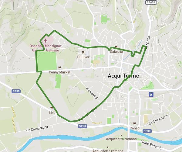
This running route covers 4.832mi starting from Acqui Terme, Alessandria. The run is a loop trail and returns to the trailhead. This run is rated as easy, expect about 46m to complete it. The route has an elevation gain of 49ft and an elevation loss of 39ft.
Routine
Route details
6.3mph
Speed
526 kcal
Calories burned
Loop trail
Route type
502ft
Min altitude
551ft
Max altitude
Route profile
49ft
Elevation gain
39ft
Elevation loss
502ft
Min altitude
551ft
Max altitude
How to get there
Trailhead: Via Nizza 11, 15011 Acqui Terme Alessandria, Italy
GPS coordinates of the trailhead: 44.67945, 8.47237 / 44°40'46'' N, 8°28'20'' E