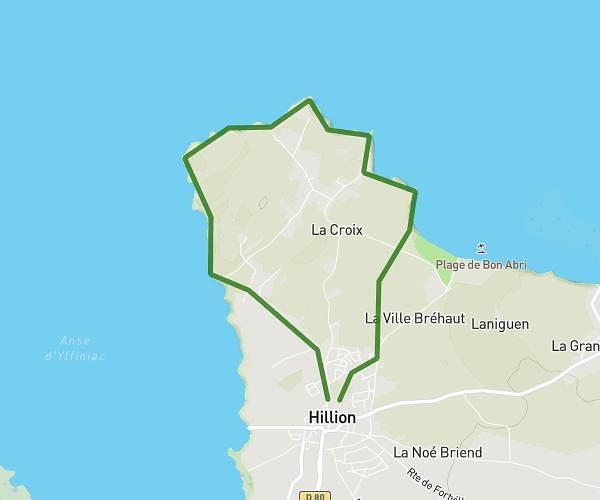
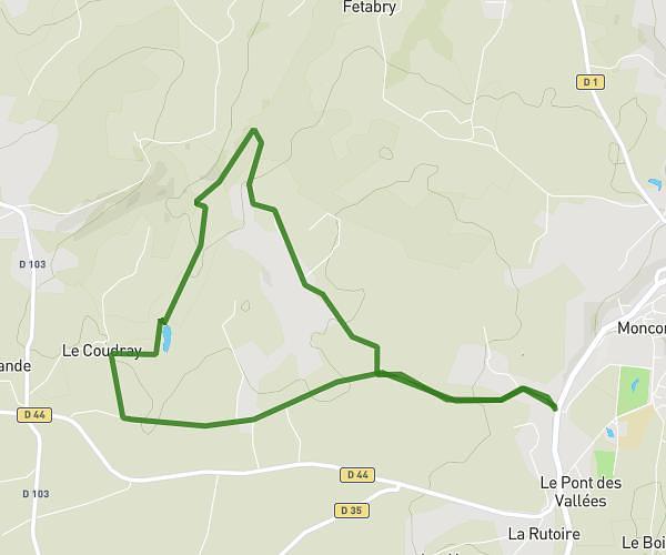
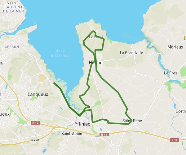
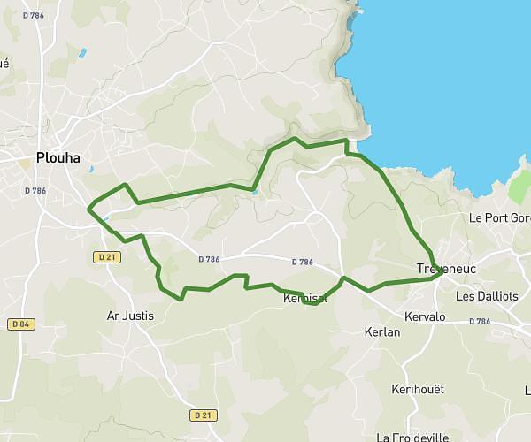
This running route covers 5.228mi starting from Pordic, Côtes-d'Armor. The run is a loop trail and returns to the trailhead. This run is rated as moderate, expect about 50m to complete it. The route has an elevation gain of 846ft and an elevation loss of 846ft.
les Madières Trail
Route details
6.28mph
Speed
572 kcal
Calories burned
Loop trail
Route type
10ft
Min altitude
282ft
Max altitude
Route profile
846ft
Elevation gain
846ft
Elevation loss
10ft
Min altitude
282ft
Max altitude
How to get there
Trailhead: Rue Du Vau Madec, 22590 Pordic, France
GPS coordinates of the trailhead: 48.58266, -2.80479 / 48°34'57'' N, 2°48'17'' W