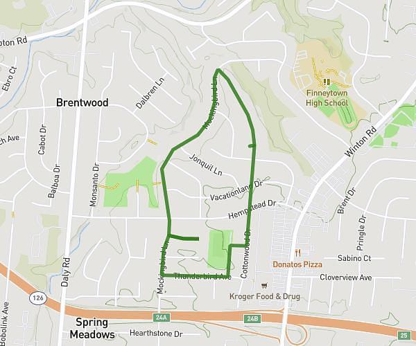
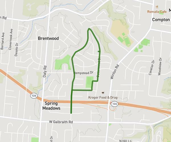
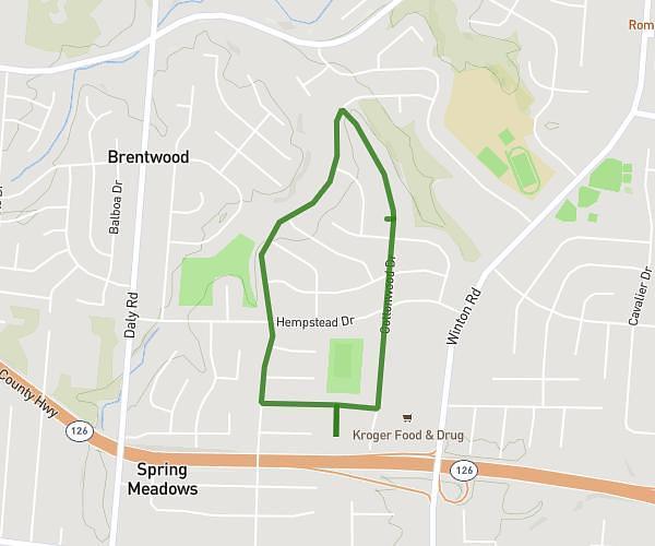
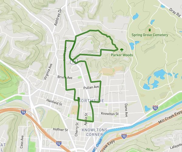
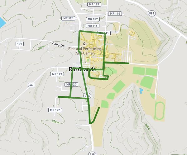
Explore this walking route of 1,634mi starting from Cincinnati, Ohio. The walk is a loop and returns to the starting point. This walk has no defined difficulty level, plan for about 35m to complete it.
Thunderbird Route
Route details
How to get there
Route starting point: 8731 Cottonwood Drive, Cincinnati, Ohio 45231, United States
GPS coordinates of the starting point: 39.22648, -84.51984 / 39°13'35'' N, 84°31'11'' W
