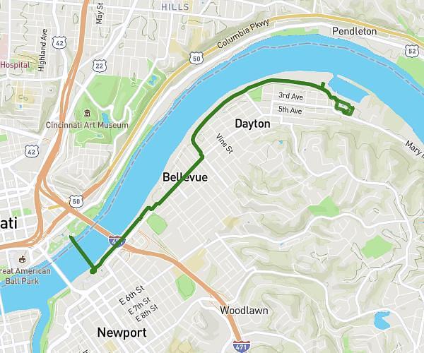
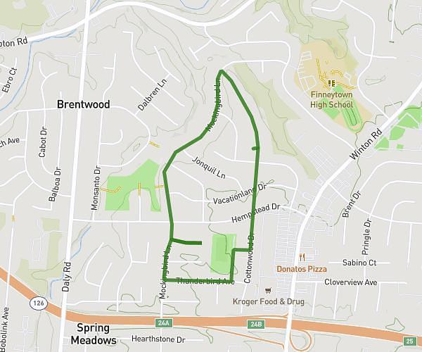
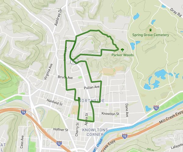
This walking route covers 1.785mi starting from Cincinnati, Ohio. The walk is a loop trail and returns to the trailhead. This walk is rated as easy, plan for about 38m to complete it. The route has an elevation gain of 115ft and an elevation loss of 118ft.
Thunderbird with Jonfred
Route details
21:19/mi
Pace
155 kcal
Calories burned
Loop trail
Route type
761ft
Min altitude
840ft
Max altitude
Route profile
115ft
Elevation gain
118ft
Elevation loss
761ft
Min altitude
840ft
Max altitude
How to get there
Trailhead: 8731 Cottonwood Drive, Cincinnati, Ohio 45231, United States
GPS coordinates of the trailhead: 39.226456, -84.520096 / 39°13'35'' N, 84°31'12'' W