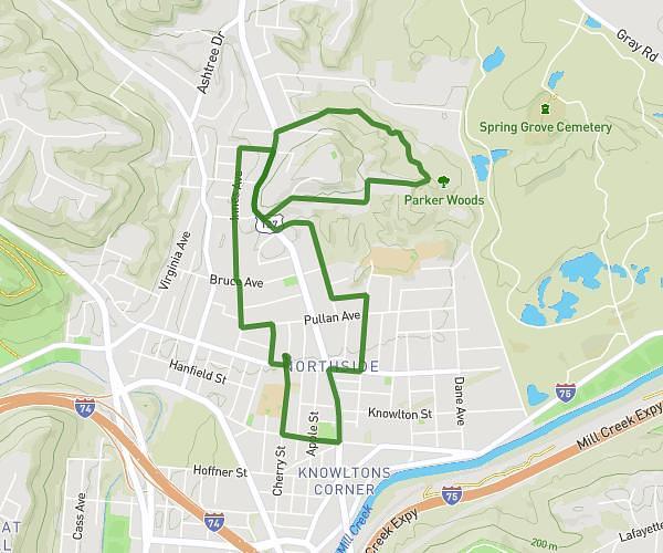
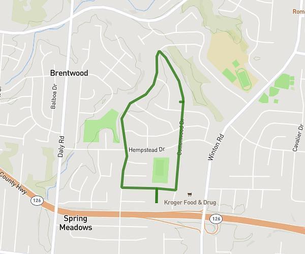
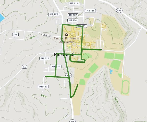
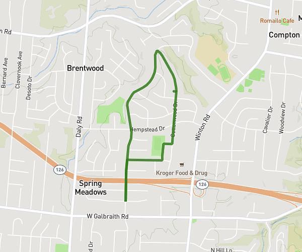
This walking route covers 7.617mi starting from Cleveland, Ohio. The walk is a loop trail and returns to the trailhead. This walk is rated as strenuous, plan for about 2h to complete it. The route has an elevation gain of 584ft and an elevation loss of 584ft.
Cleveland
Route details
15:45/mi
Pace
490 kcal
Calories burned
Loop trail
Route type
564ft
Min altitude
745ft
Max altitude
Route profile
584ft
Elevation gain
584ft
Elevation loss
564ft
Min altitude
745ft
Max altitude
How to get there
Trailhead: 726 North Marginal Road, Cleveland, Ohio 44114, United States
GPS coordinates of the trailhead: 41.5084, -81.69383 / 41°30'30'' N, 81°41'37'' W