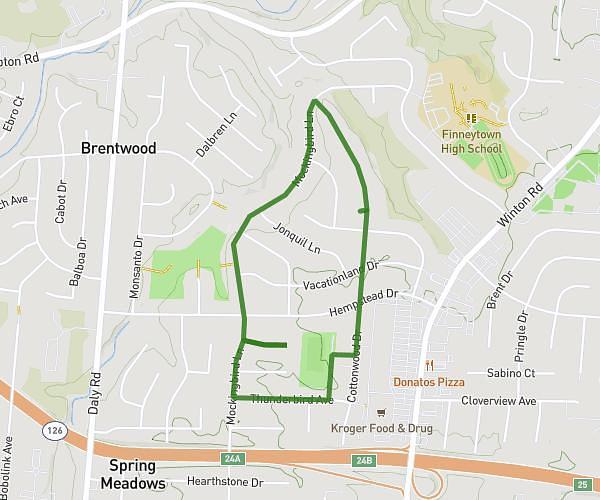
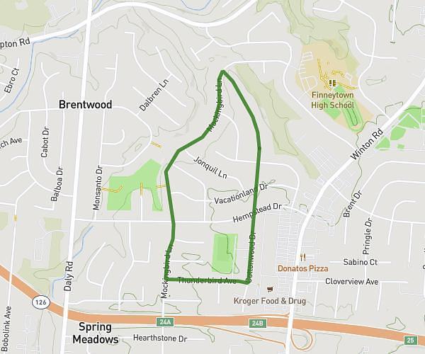
This walking route covers 7.213mi starting from Dayton, Kentucky. The walk is a loop trail and returns to the trailhead. This walk is rated as hard, plan for about 1h39m to complete it. The route has an elevation gain of 381ft and an elevation loss of 377ft.
Solo walk
Route details
13:51/mi
Pace
408 kcal
Calories burned
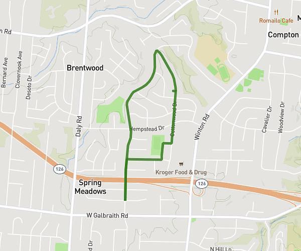
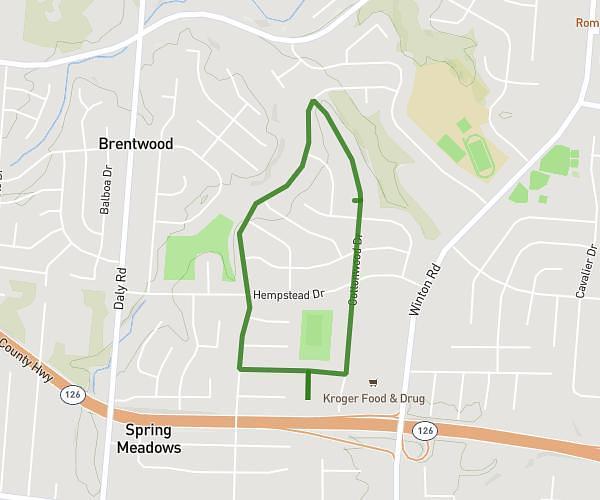
Loop trail
Route type
472ft
Min altitude
535ft
Max altitude
Route profile
381ft
Elevation gain
377ft
Elevation loss
472ft
Min altitude
535ft
Max altitude
How to get there
Trailhead: 1185 Manhattan Boulevard, Dayton, Kentucky 41074, United States
GPS coordinates of the trailhead: 39.114331, -84.458675 / 39°6'51'' N, 84°27'31'' W