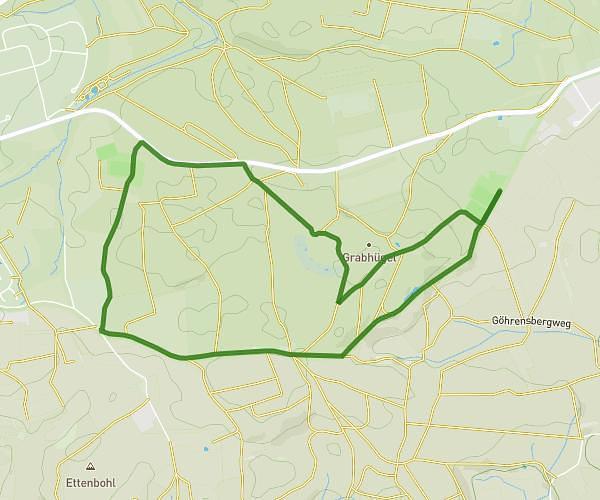
This hiking trail covers 3.8mi starting from Emmingen-Liptingen, Baden-Württemberg. The hike is a loop trail and returns to the trailhead. This hike is rated as easy, plan for about 40m46s to complete it. The route has an elevation gain of 492ft and an elevation loss of 492ft.
Kinderweg 50 Jahre EL
Route details
5.59mph
Speed
297 kcal
Calories burned
4.9%
Avg grade
Loop trail
Route type
2385ft
Min altitude
2510ft
Max altitude
Route profile
492ft
Elevation gain
492ft
Elevation loss
2385ft
Min altitude
2510ft
Max altitude
How to get there
Trailhead: Jahnstraße, 78576 Emmingen-Liptingen, Germany
GPS coordinates of the trailhead: 47.932072, 8.895965 / 47°55'55'' N, 8°53'45'' E