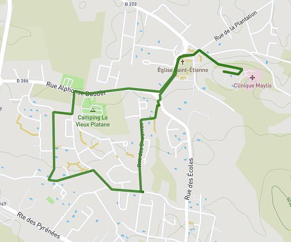
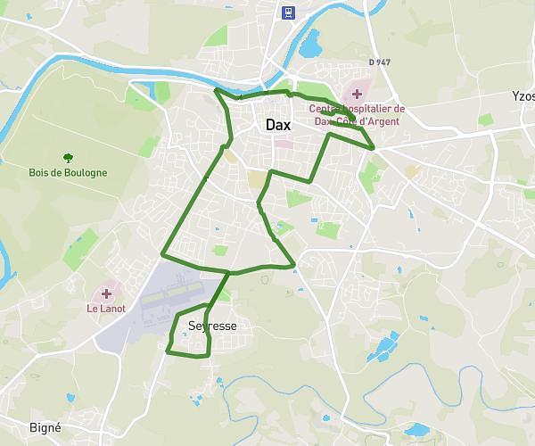
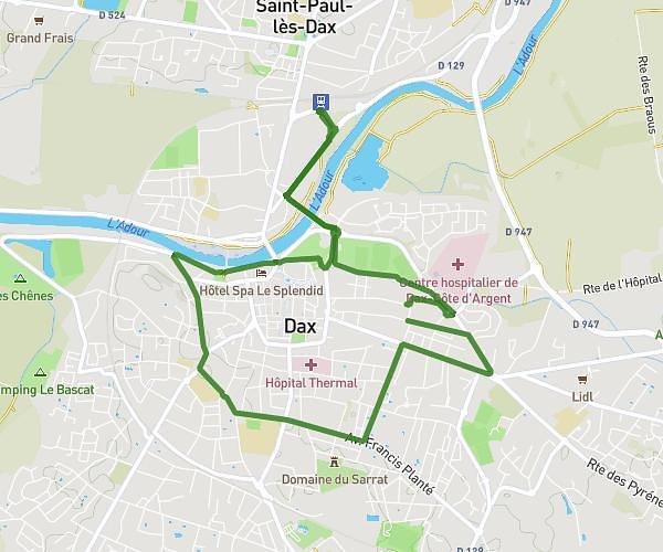
This running route covers 2.986mi starting from Goos, Landes. The run is a loop trail and returns to the trailhead. This run is rated as easy, expect about 32m to complete it. The route has an elevation gain of 72ft and an elevation loss of 66ft.
Parcours 4.8
Route details
5.6mph
Speed
366 kcal
Calories burned
Loop trail
Route type
151ft
Min altitude
223ft
Max altitude
Route profile
72ft
Elevation gain
66ft
Elevation loss
151ft
Min altitude
223ft
Max altitude
How to get there
Trailhead: 410 Route Du Hougas, 40180 Goos, France
GPS coordinates of the trailhead: 43.72307, -0.92151 / 43°43'23'' N, 0°55'17'' W