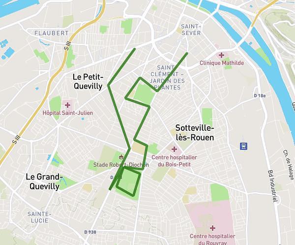
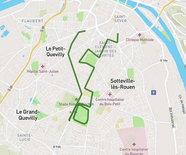
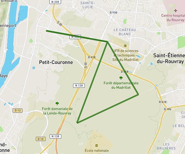
This running route covers 15.373mi starting from Oissel, Seine-Maritime. The run is a loop trail and returns to the trailhead. This run is rated as strenuous, expect about 2h28m to complete it. The route has an elevation gain of 52ft and an elevation loss of 49ft.
Sortie 2h10
Route details
6.23mph
Speed
1692 kcal
Calories burned
Loop trail
Route type
20ft
Min altitude
62ft
Max altitude
Route profile
52ft
Elevation gain
49ft
Elevation loss
20ft
Min altitude
62ft
Max altitude
How to get there
Trailhead: Rue Adrien Corvaisier, 76350 Oissel
GPS coordinates of the trailhead: 49.35445, 1.09261 / 49°21'16'' N, 1°5'33'' E