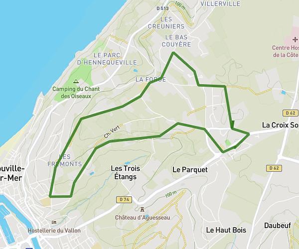
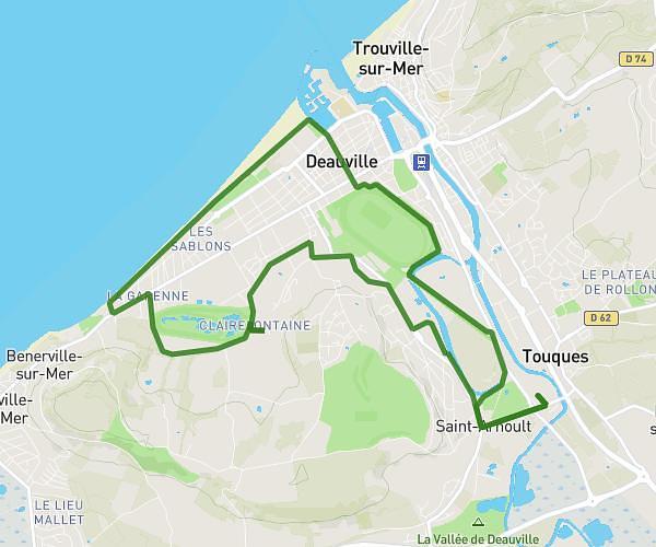
This running route covers 8.801mi starting from Deauville, Calvados. The run is a loop trail and returns to the trailhead. This run is rated as hard, expect about 1h30m to complete it. The route has an elevation gain of 272ft and an elevation loss of 269ft.
14km Deauville
Route details
5.87mph
Speed
1029 kcal
Calories burned
Loop trail
Route type
-7ft
Min altitude
43ft
Max altitude
Route profile
272ft
Elevation gain
269ft
Elevation loss
-7ft
Min altitude
43ft
Max altitude
How to get there
Trailhead: 25p Rue Des Villas, 14800 Deauville, France
GPS coordinates of the trailhead: 49.354876, 0.061849 / 49°21'17'' N, 0°3'42'' E