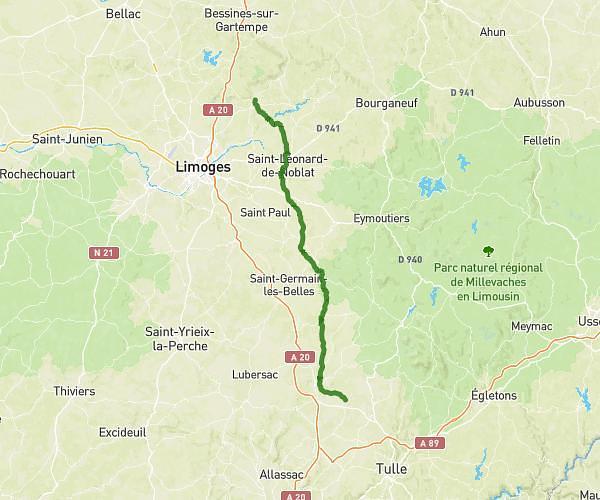
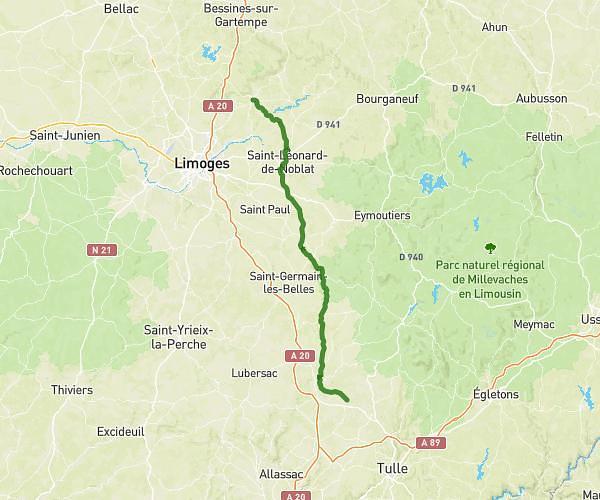
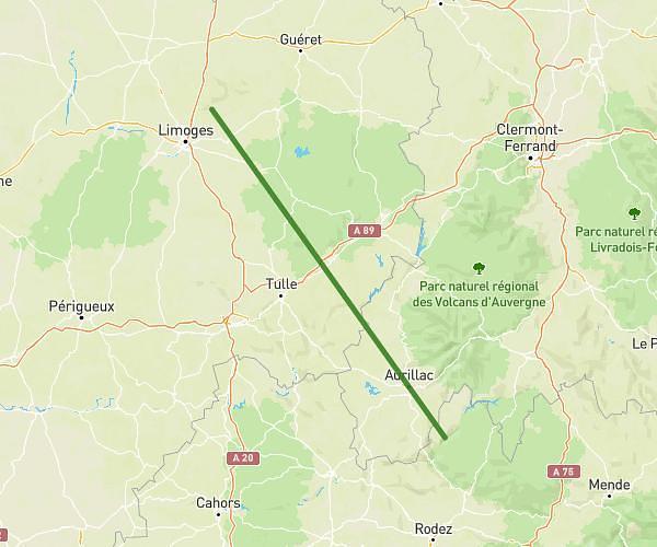
This cycling route covers 142.163mi starting from Ambazac, Haute-Vienne. The ride does not return to the trailhead and ends near 9 Route Du Prat, 12600 Lacroix-Barrez, France. This route is rated as strenuous, plan for about 14h17m to complete it. The route has an elevation gain of 5066ft and an elevation loss of 6289ft.
Ambazaclacroix
Route details
7566 kcal
Calories burned
1.5%
Avg grade
Point to point
Route type
0ft
Min altitude
1706ft
Max altitude
Route profile
5066ft
Elevation gain
6289ft
Elevation loss
0ft
Min altitude
1706ft
Max altitude
How to get there
Trailhead: 16 Rue Jean-Baptiste Landon, 87240 Ambazac, France
GPS coordinates of the trailhead: 45.957861, 1.400589 / 45°57'28'' N, 1°24'2'' E