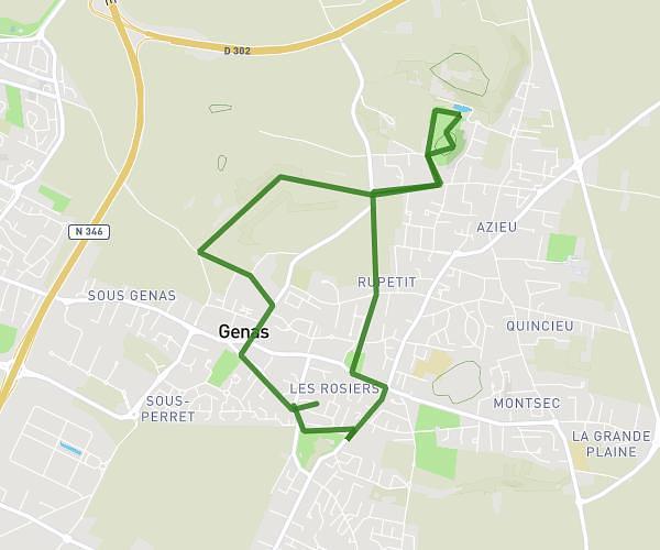
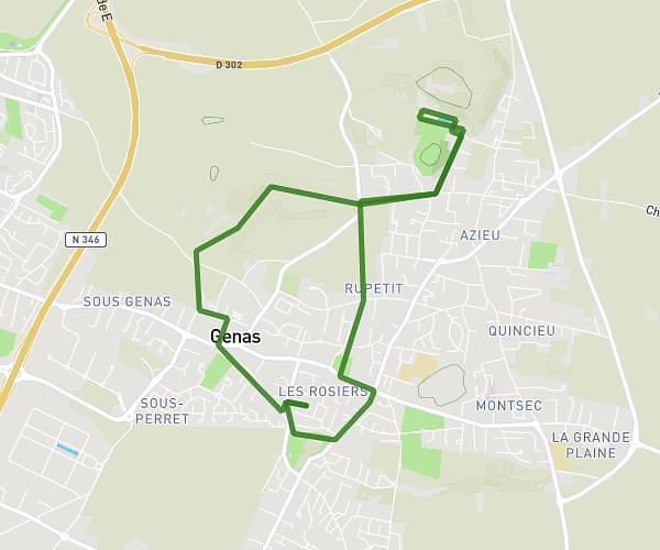
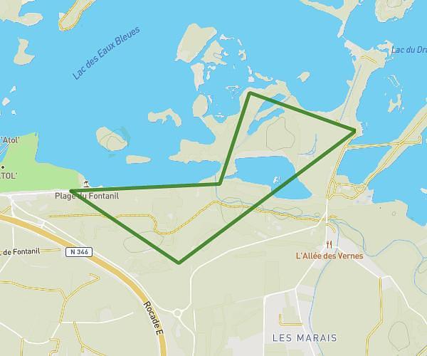
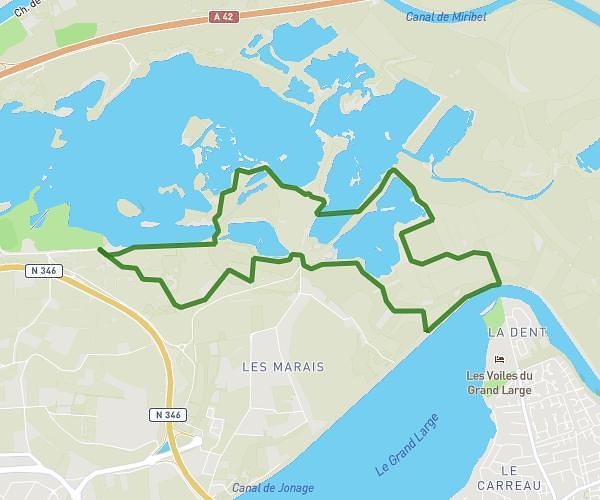
This running route covers 13.228mi starting from Crans, Ain. The run is a loop trail and returns to the trailhead. This run is rated as strenuous, expect about 2h22m to complete it. The route has an elevation gain of 469ft and an elevation loss of 459ft.
Semi
Route details
5.59mph
Speed
1624 kcal
Calories burned
Loop trail
Route type
833ft
Min altitude
1040ft
Max altitude
Route profile
469ft
Elevation gain
459ft
Elevation loss
833ft
Min altitude
1040ft
Max altitude
How to get there
Trailhead: 1760 Route Du Guillon, 01800 Crans, France
GPS coordinates of the trailhead: 45.95272, 5.19572 / 45°57'9'' N, 5°11'44'' E