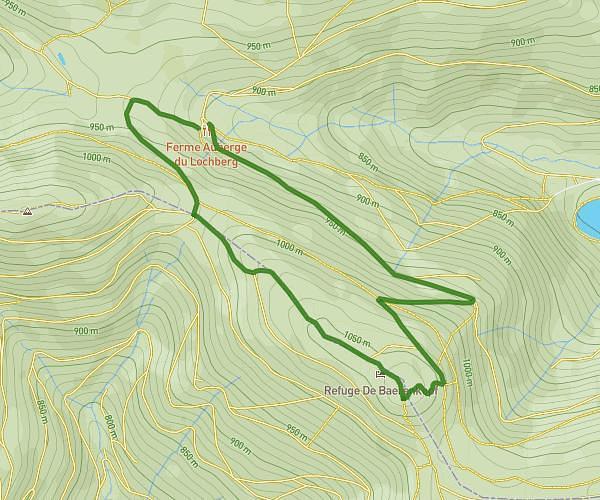
This hiking trail covers 2.139mi starting from Kirchberg, Haut-Rhin. The hike is a loop trail and returns to the trailhead. This hike is rated as moderate, plan for about 1h6m to complete it. The route has an elevation gain of 614ft and an elevation loss of 650ft.
Marche lochberg
Route details
1.94mph
Speed
504 kcal
Calories burned
11.2%
Avg grade
Loop trail
Route type
2943ft
Min altitude
3507ft
Max altitude
Steep climb
Route profile
614ft
Elevation gain
650ft
Elevation loss
2943ft
Min altitude
3507ft
Max altitude
How to get there
Trailhead: 1 Chemin Du Lochberg, 68290 Kirchberg, France
GPS coordinates of the trailhead: 47.77982, 6.913722 / 47°46'47'' N, 6°54'49'' E