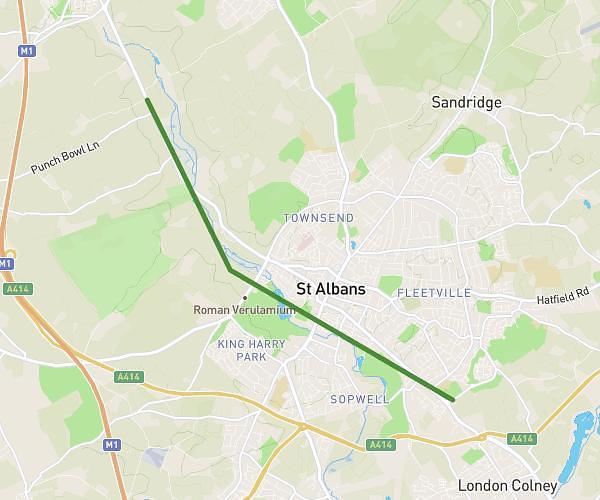
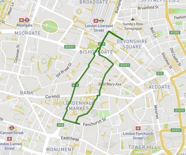
This walking route covers 2.265mi starting from London, England. The walk is a loop trail and returns to the trailhead. This walk is rated as easy, plan for about 22m11s to complete it. The route has an elevation gain of 371ft and an elevation loss of 377ft.
25/09/25 Litter Pick
Route details
9:48/mi
Pace
91 kcal
Calories burned
Loop trail
Route type
23ft
Min altitude
128ft
Max altitude
Route profile
371ft
Elevation gain
377ft
Elevation loss
23ft
Min altitude
128ft
Max altitude
How to get there
Trailhead: 158-159 Fenchurch Street, City of London, London, EC3M 6AL, United Kingdom
GPS coordinates of the trailhead: 51.51165, -0.08364 / 51°30'41'' N, 0°5'1'' W