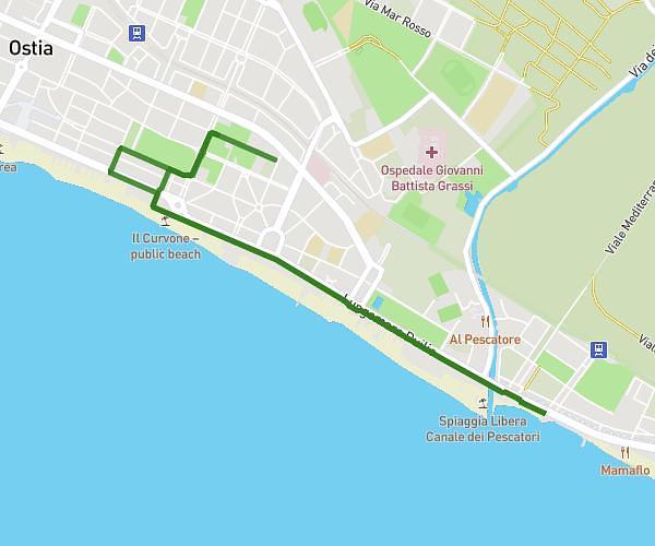
This running route covers 14.922mi starting from Roma, Rome. The run does not return to the trailhead and ends near Via Del Baiardo, 00191 Roma. This run is rated as strenuous, expect about 3h6s to complete it. The route has an elevation gain of 3ft and an elevation loss of 79ft.
Preparazione Passatore 24 andata, 24 ritorno
Route details
4.97mph
Speed
2059 kcal
Calories burned
Point to point
Route type
52ft
Min altitude
128ft
Max altitude
Route profile
3ft
Elevation gain
79ft
Elevation loss
52ft
Min altitude
128ft
Max altitude
How to get there
Trailhead: Piazzale Metronio, 00183 Roma
GPS coordinates of the trailhead: 41.88222, 12.49931 / 41°52'55'' N, 12°29'57'' E