MapPlanner
17.015mi
Distance
1h25m
Duration
12.0mph
Speed
+715ft
Elevation gain
-732ft
Elevation loss
Hard
Level

Sat C1

Route details

752 kcal
Calories burned
1.6%
Avg grade
Loop trail
Route type
157ft
Min altitude
407ft
Max altitude

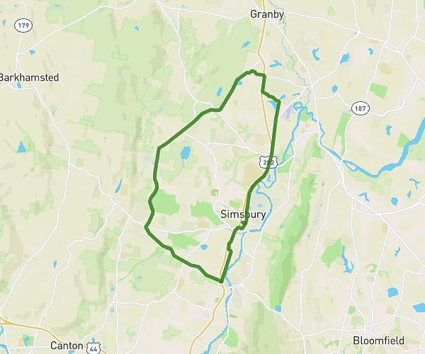
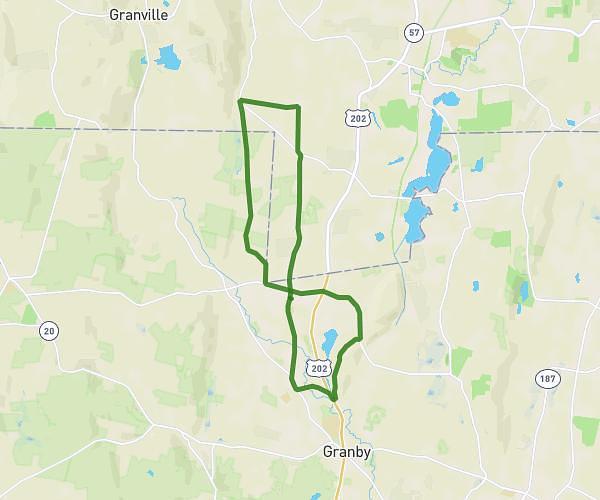
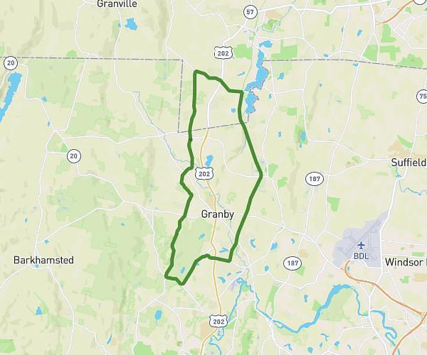
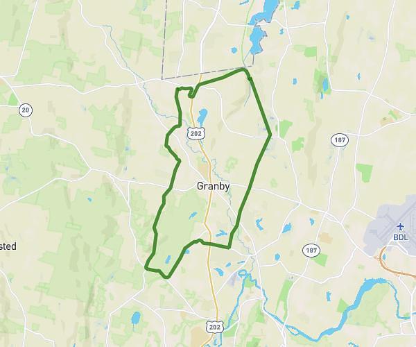
This cycling route covers 17.015mi starting from Simsbury, Connecticut. The ride is a loop trail and returns to the trailhead. This route is rated as hard, plan for about 1h25m to complete it. The route has an elevation gain of 715ft and an elevation loss of 732ft.

Route profile

715ft
Elevation gain
732ft
Elevation loss
157ft
Min altitude
407ft
Max altitude

How to get there

Trailhead: Jim Gallagher Way, 06070 Simsbury

GPS coordinates of the trailhead: 41.87255, -72.80102 / 41°52'21'' N, 72°48'3'' W

Caution: May Cross Private Property

This route may pass through or near private property. Always respect posted signs, obtain permission where required, and follow local trespassing laws. MapPlanner does not guarantee public access along any route.

Safety Notice

Trail and road conditions may change without notice due to weather, construction, or other factors. Always verify current conditions before heading out. You are responsible for your own safety — follow local signage, obey traffic laws, and use your best judgment on the trail.