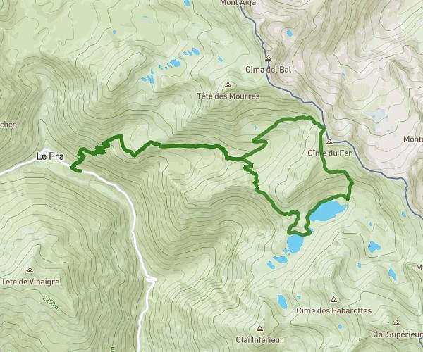
This hiking trail covers 16.285mi starting from Saint-Dalmas-le-Selvage, Alpes-Maritimes. The hike is a loop trail and returns to the trailhead. This hike is rated as hard, plan for about 8h to complete it. The route has an elevation gain of 5804ft and an elevation loss of 5837ft.
Tête de l'Enchastraye
Route details
2.04mph
Speed
3738 kcal
Calories burned
13.5%
Avg grade
Loop trail
Route type
6824ft
Min altitude
9541ft
Max altitude
High altitude
Steep climb
Route profile
5804ft
Elevation gain
5837ft
Elevation loss
6824ft
Min altitude
9541ft
Max altitude
How to get there
Trailhead: 9900 Route De La Bonette, 06660 Saint-Dalmas-le-Selvage, France
GPS coordinates of the trailhead: 44.33387, 6.86491 / 44°20'1'' N, 6°51'53'' E