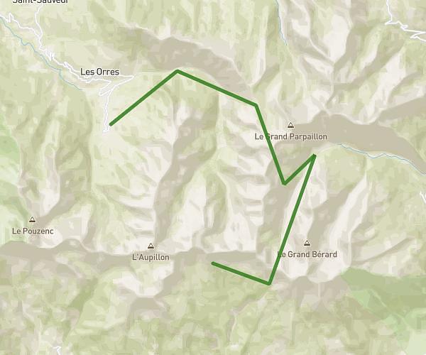
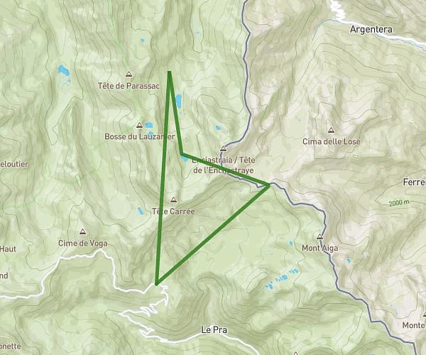
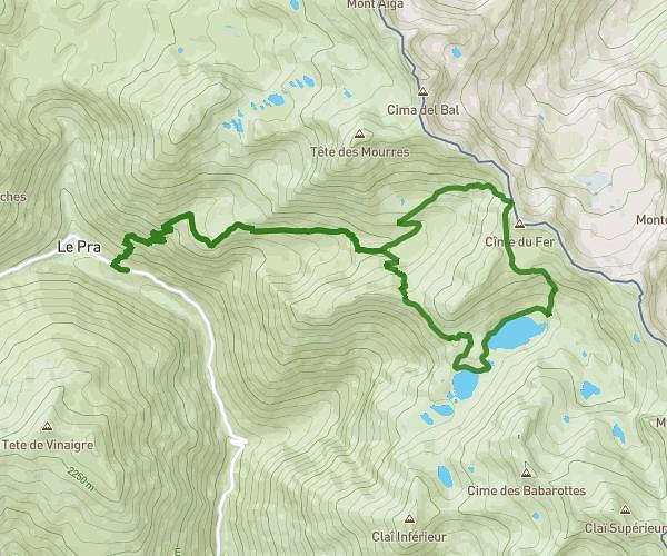
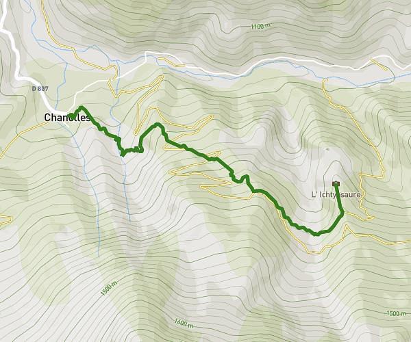
This hiking trail covers 3.734mi starting from Allos, Alpes-de-Haute-Provence. The hike is a loop trail and returns to the trailhead. This hike is rated as moderate, plan for about 2h10s to complete it. The route has an elevation gain of 922ft and an elevation loss of 922ft.
Footing
Route details
1.86mph
Speed
907 kcal
Calories burned
9.4%
Avg grade
Loop trail
Route type
5817ft
Min altitude
6424ft
Max altitude
Steep climb
Route profile
922ft
Elevation gain
922ft
Elevation loss
5817ft
Min altitude
6424ft
Max altitude
How to get there
Trailhead: 250 Chemin De La Patinoire, 04260 Allos, France
GPS coordinates of the trailhead: 44.28956, 6.57012 / 44°17'22'' N, 6°34'12'' E