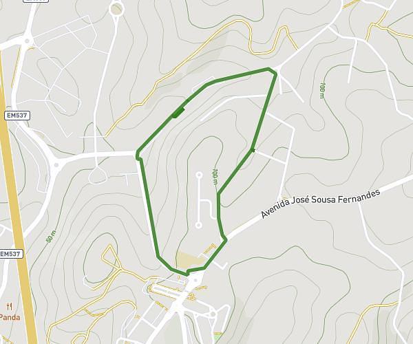
This running route covers 2.023mi starting from Coimbra, Coimbra. The run is a loop trail and returns to the trailhead. This run is rated as easy, expect about 15m to complete it. The route has an elevation gain of 75ft and an elevation loss of 75ft.
abdi coimbra lap
Route details
8.09mph
Speed
172 kcal
Calories burned
Loop trail
Route type
43ft
Min altitude
69ft
Max altitude
Route profile
75ft
Elevation gain
75ft
Elevation loss
43ft
Min altitude
69ft
Max altitude
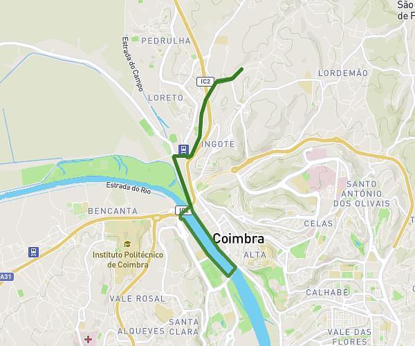
How to get there
Trailhead: Ponte Do Açude, 3000-429 Coimbra, Coimbra, Portugal
GPS coordinates of the trailhead: 40.21595, -8.43916 / 40°12'57'' N, 8°26'20'' W