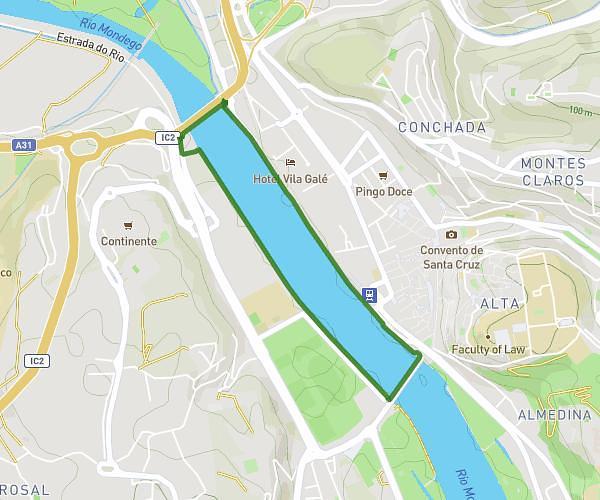
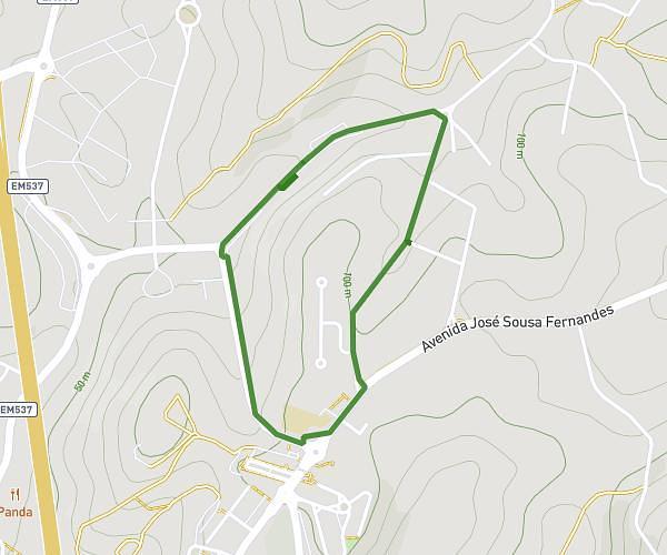
This running route covers 5.97mi starting from Coimbra, Coimbra. The run is a loop trail and returns to the trailhead. This run is rated as easy, expect about 1h5m to complete it. The route has an elevation gain of 381ft and an elevation loss of 381ft.
Abdi Personal Ride
Route details
5.51mph
Speed
743 kcal
Calories burned
Loop trail
Route type
39ft
Min altitude
220ft
Max altitude
Route profile
381ft
Elevation gain
381ft
Elevation loss
39ft
Min altitude
220ft
Max altitude
How to get there
Trailhead: Rua Vale De São Miguel 10, 3020-113 Coimbra, Coimbra, Portugal
GPS coordinates of the trailhead: 40.23711, -8.42879 / 40°14'13'' N, 8°25'43'' W