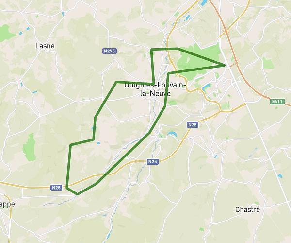
This hiking trail covers 7.095mi starting from Les Bons Villers, Hainaut. The hike does not return to the trailhead and ends near Rue Sart-Haut 177, 6210 Genappe, Walloon Brabant, Belgium. This hike is rated as easy, plan for about 2h15m to complete it. The route has an elevation gain of 361ft and an elevation loss of 259ft.
mellet houtain
Route details
3.16mph
Speed
960 kcal
Calories burned
1.7%
Avg grade
Point to point
Route type
449ft
Min altitude
554ft
Max altitude
Route profile
361ft
Elevation gain
259ft
Elevation loss
449ft
Min altitude
554ft
Max altitude
How to get there
Trailhead: Chemin De L'escavée, 6211 Les Bons Villers, Hainaut, Belgium
GPS coordinates of the trailhead: 50.50726, 4.47964 / 50°30'26'' N, 4°28'46'' E