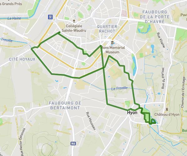
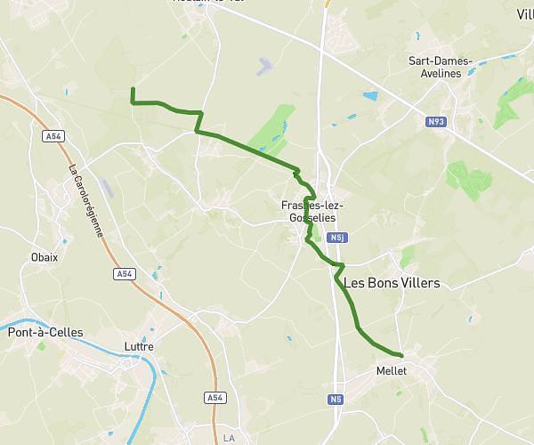
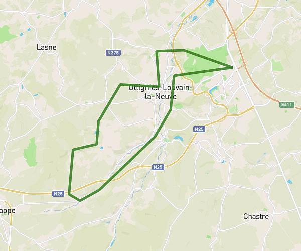
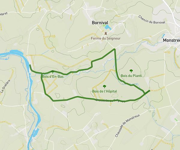
This hiking trail covers 12.432mi starting from Braine-le-Comte, Hainaut. The hike is a loop trail and returns to the trailhead. This hike is rated as moderate, plan for about 4h16m to complete it. The route has an elevation gain of 696ft and an elevation loss of 696ft.
promenade
Route details
2.91mph
Speed
1824 kcal
Calories burned
2.1%
Avg grade
Loop trail
Route type
177ft
Min altitude
558ft
Max altitude
Route profile
696ft
Elevation gain
696ft
Elevation loss
177ft
Min altitude
558ft
Max altitude
How to get there
Trailhead: Rue Jules Dekeyn 32, 7090 Braine-le-Comte, Hainaut, Belgium
GPS coordinates of the trailhead: 50.61058, 4.22364 / 50°36'38'' N, 4°13'25'' E