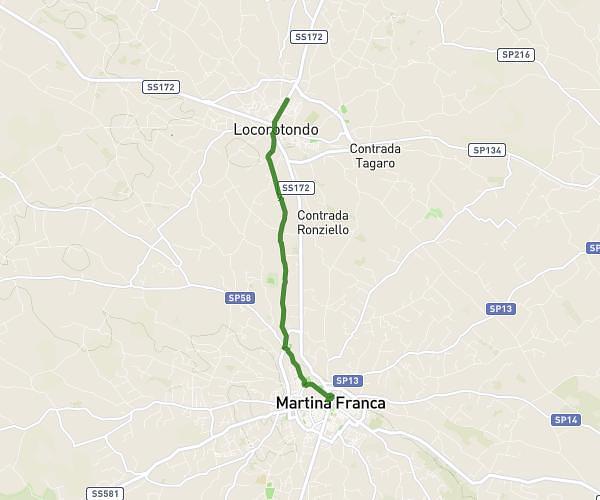
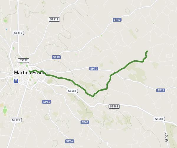
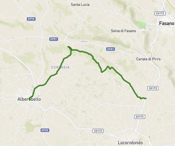
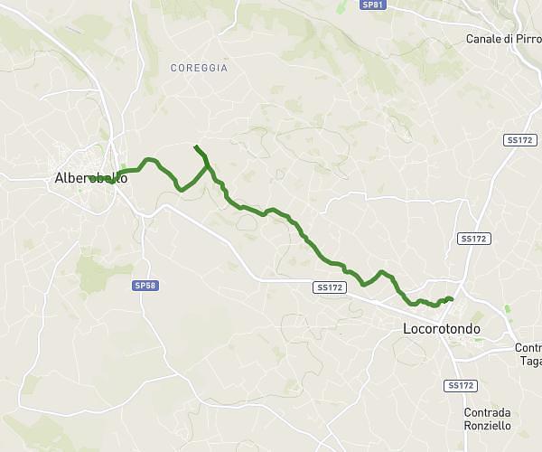
This cycling route covers 7.058mi starting from Locorotondo, Metropolitan CityBari. The ride does not return to the trailhead and ends near Strada Comunale N.74 - Fantese, 72017 Ostuni Brindisi, Italy. This route is rated as easy, plan for about 42m to complete it. The route has an elevation gain of 135ft and an elevation loss of 217ft.
Étape 3
Route details
369 kcal
Calories burned
0.9%
Avg grade
Point to point
Route type
1099ft
Min altitude
1247ft
Max altitude
Route profile
135ft
Elevation gain
217ft
Elevation loss
1099ft
Min altitude
1247ft
Max altitude
How to get there
Trailhead: Strada Statale 172 Dei Trulli, 72015 Locorotondo Bari, Italy
GPS coordinates of the trailhead: 40.78458, 17.34011 / 40°47'4'' N, 17°20'24'' E