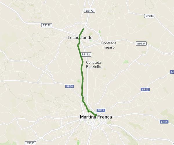
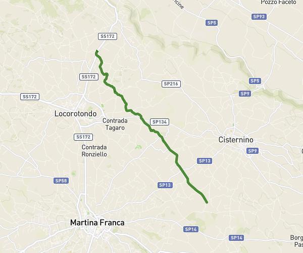
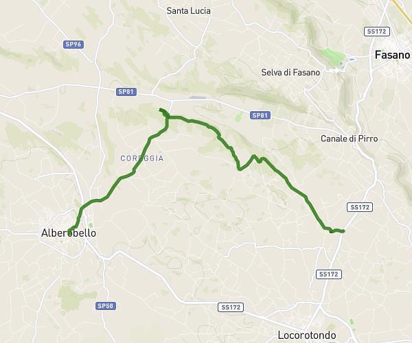
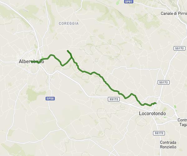
This cycling route covers 4.809mi starting from Ostuni, Brindisi. The ride does not return to the trailhead and ends near Via Pietro Antonio Barnaba 18, 74015 Martina Franca Taranto, Italy. This route is rated as easy, plan for about 29m to complete it. The route has an elevation gain of 417ft and an elevation loss of 69ft.
Étape 4
Route details
259 kcal
Calories burned
1.9%
Avg grade
Point to point
Route type
1014ft
Min altitude
1427ft
Max altitude
Route profile
417ft
Elevation gain
69ft
Elevation loss
1014ft
Min altitude
1427ft
Max altitude
How to get there
Trailhead: Strada Comunale N.74 - Fantese, 72017 Ostuni Brindisi, Italy
GPS coordinates of the trailhead: 40.71359, 17.40779 / 40°42'48'' N, 17°24'28'' E