MapPlanner
10.923mi
Distance
5h6m
Duration
2.14mph
Speed
+223ft
Elevation gain
-210ft
Elevation loss
Moderate
Level

Adam ride

Route details

2691 kcal
Calories burned
0.8%
Avg grade
Loop trail
Route type
30ft
Min altitude
161ft
Max altitude

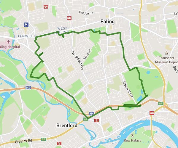
This cycling route covers 10.923mi starting from Kingston upon Thames, England. The ride is a loop trail and returns to the trailhead. This route is rated as moderate, plan for about 5h6m to complete it. The route has an elevation gain of 223ft and an elevation loss of 210ft.

Route profile

223ft
Elevation gain
210ft
Elevation loss
30ft
Min altitude
161ft
Max altitude

How to get there

Trailhead: Fairfield South, KT1 2UW Kingston upon Thames

GPS coordinates of the trailhead: 51.4079, -0.29551 / 51°24'28'' N, 0°17'43'' W

Caution: May Cross Private Property

This route may pass through or near private property. Always respect posted signs, obtain permission where required, and follow local trespassing laws. MapPlanner does not guarantee public access along any route.

Safety Notice

Trail and road conditions may change without notice due to weather, construction, or other factors. Always verify current conditions before heading out. You are responsible for your own safety — follow local signage, obey traffic laws, and use your best judgment on the trail.