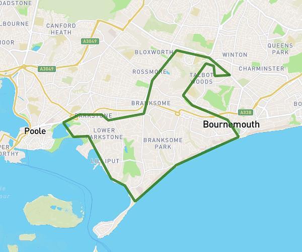
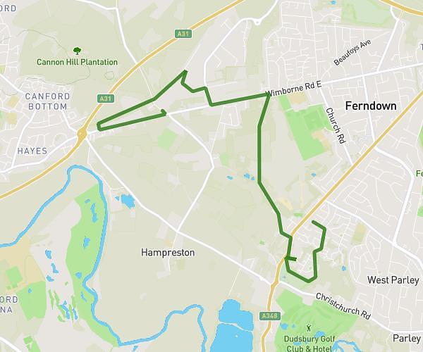
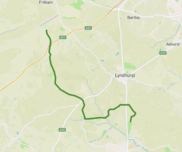
This hiking trail covers 7.501mi starting from Bournemouth, England. The hike is a loop trail and returns to the trailhead. This hike is rated as easy, plan for about 2h29m to complete it. The route has an elevation gain of 436ft and an elevation loss of 427ft.
7.5 mile
Route details
3.0mph
Speed
1069 kcal
Calories burned
2.2%
Avg grade
Loop trail
Route type
16ft
Min altitude
164ft
Max altitude
Route profile
436ft
Elevation gain
427ft
Elevation loss
16ft
Min altitude
164ft
Max altitude
How to get there
Trailhead: 1 Talbot Avenue, Bournemouth, BH3 7HP, United Kingdom
GPS coordinates of the trailhead: 50.73645, -1.881123 / 50°44'11'' N, 1°52'52'' W