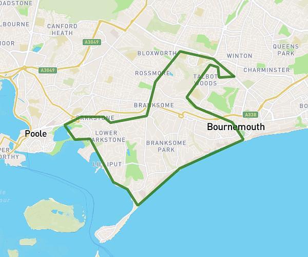
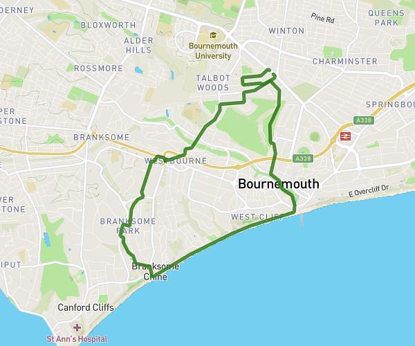
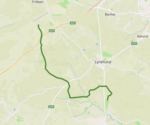
This hiking trail covers 4.947mi starting from Ferndown, England. The hike does not return to the trailhead and ends near Uddens Drive, BH21 7NW Wimborne. This hike is rated as easy, plan for about 1h32m to complete it. The route has an elevation gain of 331ft and an elevation loss of 328ft.
Sunday 1st walk
Route details
3.22mph
Speed
658 kcal
Calories burned
2.5%
Avg grade
Point to point
Route type
56ft
Min altitude
128ft
Max altitude
Route profile
331ft
Elevation gain
328ft
Elevation loss
56ft
Min altitude
128ft
Max altitude
How to get there
Trailhead: Sherwood Avenue, BH22 8JT Ferndown
GPS coordinates of the trailhead: 50.79302, -1.90056 / 50°47'34'' N, 1°54'2'' W