MapPlanner
7.666mi
Distance
59m55s
Duration
7:49/mi
Pace
Hard
Level

Jeudi après midi

Route details

7.67mph
Speed
685 kcal
Calories burned
Loop trail
Route type
689ft
Min altitude
860ft
Max altitude

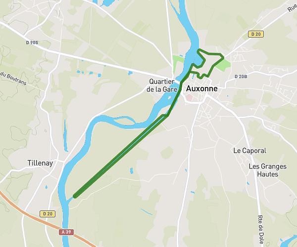
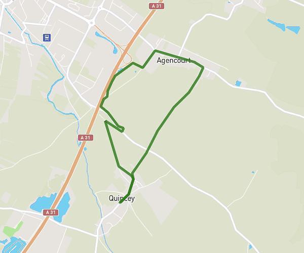
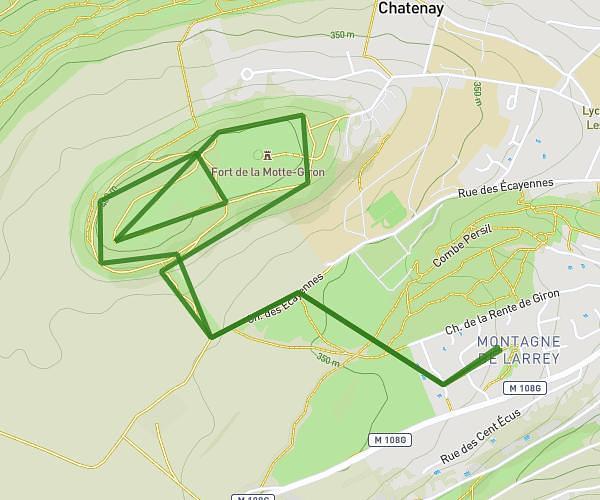
This running route covers 7.666mi starting from Côte-d’Or, Dijon. The run is a loop trail and returns to the trailhead. This run is rated as hard, expect about 59m55s to complete it. The route has an elevation gain of 256ft and an elevation loss of 249ft.

Route profile

256ft
Elevation gain
249ft
Elevation loss
689ft
Min altitude
860ft
Max altitude

How to get there

Trailhead: Rue Sully, 21000 Dijon

GPS coordinates of the trailhead: 47.31533, 5.07618 / 47°18'55'' N, 5°4'34'' E

Caution: May Cross Private Property

This route may pass through or near private property. Always respect posted signs, obtain permission where required, and follow local trespassing laws. MapPlanner does not guarantee public access along any route.

Safety Notice

Trail and road conditions may change without notice due to weather, construction, or other factors. Always verify current conditions before heading out. You are responsible for your own safety — follow local signage, obey traffic laws, and use your best judgment on the trail.