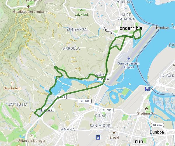
This hiking trail covers 5.123mi starting from Hondarribia, Gipuzkoa. The hike is a loop trail and returns to the trailhead. This hike is rated as easy, plan for about 1h58m to complete it. The route has an elevation gain of 220ft and an elevation loss of 220ft.
Puntala-kaiberria
Route details
2.59mph
Speed
842 kcal
Calories burned
1.6%
Avg grade
Loop trail
Route type
-7ft
Min altitude
39ft
Max altitude
Route profile
220ft
Elevation gain
220ft
Elevation loss
-7ft
Min altitude
39ft
Max altitude
How to get there
Trailhead: Nafarroa Behera Kalea 4, 20280 Hondarribia, Gipuzkoa, Spain
GPS coordinates of the trailhead: 43.362218, -1.78828 / 43°21'43'' N, 1°47'17'' W