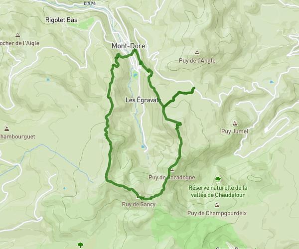
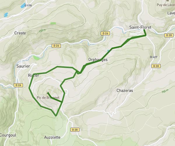
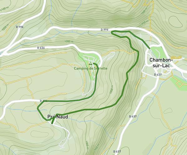
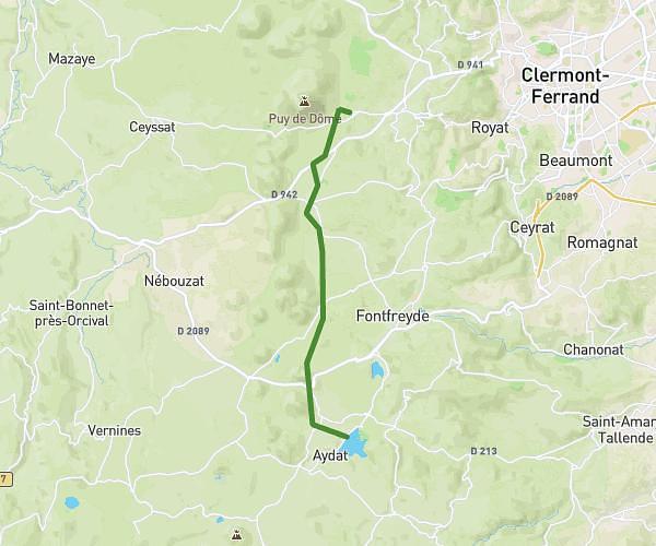
This hiking trail covers 10.434mi starting from Orcival, Puy-de-Dôme. The hike does not return to the trailhead and ends near Rue Roland Brousse, 63970 Aydat. This hike is rated as hard, plan for about 3h59m to complete it. The route has an elevation gain of 1352ft and an elevation loss of 1293ft.
02_Orci_Aydat_17kmD420
Route details
2.61mph
Speed
1748 kcal
Calories burned
4.8%
Avg grade
Point to point
Route type
2746ft
Min altitude
3442ft
Max altitude
Route profile
1352ft
Elevation gain
1293ft
Elevation loss
2746ft
Min altitude
3442ft
Max altitude
How to get there
Trailhead: Place Notre-Dame, 63210 Orcival
GPS coordinates of the trailhead: 45.68256, 2.84173 / 45°40'57'' N, 2°50'30'' E