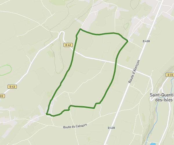
This hiking trail covers 2.797mi starting from Bernay, Eure. The hike is a loop trail and returns to the trailhead. This hike is rated as easy, plan for about 59m to complete it. The route has an elevation gain of 171ft and an elevation loss of 171ft.
Hauts de Bernay
Route details
2.85mph
Speed
421 kcal
Calories burned
2.3%
Avg grade
Loop trail
Route type
482ft
Min altitude
525ft
Max altitude
Route profile
171ft
Elevation gain
171ft
Elevation loss
482ft
Min altitude
525ft
Max altitude
How to get there
Trailhead: 3 Rue Du Commandant Robert Malrait, 27300 Bernay, France
GPS coordinates of the trailhead: 49.103391, 0.590597 / 49°6'12'' N, 0°35'26'' E