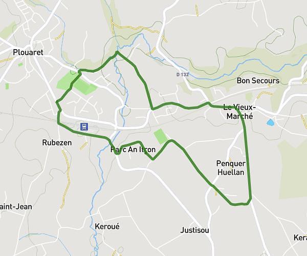
This hiking trail covers 3.685mi starting from Coadout, Côtes-d'Armor. The hike is a loop trail and returns to the trailhead. This hike is rated as easy, plan for about 1h18m to complete it. The route has an elevation gain of 407ft and an elevation loss of 407ft.
Coadout 2
Route details
2.83mph
Speed
565 kcal
Calories burned
4.2%
Avg grade
Loop trail
Route type
449ft
Min altitude
764ft
Max altitude
Route profile
407ft
Elevation gain
407ft
Elevation loss
449ft
Min altitude
764ft
Max altitude
How to get there
Trailhead: Résidence De La Vallée De Kernivinen, 22970 Coadout
GPS coordinates of the trailhead: 48.51948, -3.18561 / 48°31'10'' N, 3°11'8'' W