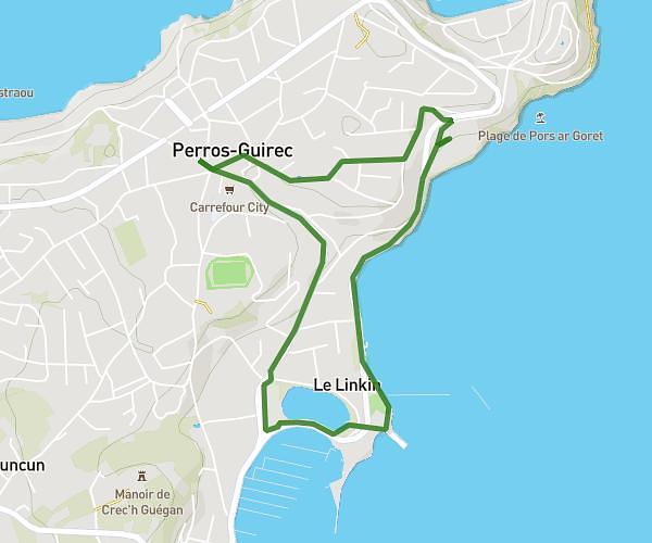
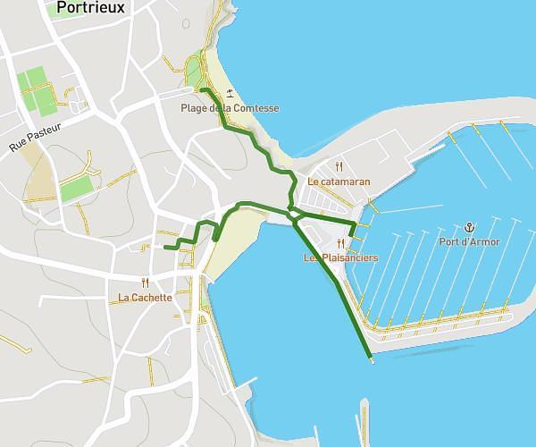
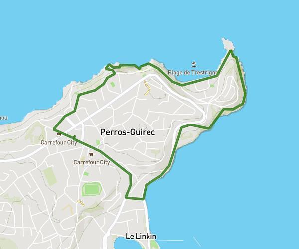
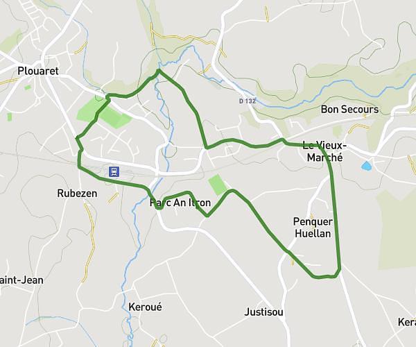
This hiking trail covers 6.849mi starting from Pleudaniel, Côtes-d'Armor. The hike is a loop trail and returns to the trailhead. This hike is rated as easy, plan for about 1h50m to complete it. The route has an elevation gain of 390ft and an elevation loss of 387ft.
course president
Route details
3.73mph
Speed
785 kcal
Calories burned
2.2%
Avg grade
Loop trail
Route type
20ft
Min altitude
174ft
Max altitude
Route profile
390ft
Elevation gain
387ft
Elevation loss
20ft
Min altitude
174ft
Max altitude
How to get there
Trailhead: 16 Rue De La Poste, 22740 Pleudaniel, France
GPS coordinates of the trailhead: 48.76914, -3.14047 / 48°46'8'' N, 3°8'25'' W