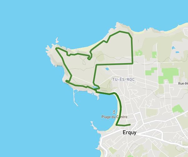
This hiking trail covers 1.133mi starting from Saint-Quay-Portrieux, Côtes-d'Armor. The hike does not return to the trailhead and ends near 3 Rue De La Chapelle Sainte-Anne, 22410 Saint-Quay-Portrieux, France. This hike is rated as easy, plan for about 27m1s to complete it. The route has an elevation gain of 141ft and an elevation loss of 154ft.
Visita Guiada SQP 02/12/25
Route details
2.52mph
Speed
197 kcal
Calories burned
4.9%
Avg grade
Point to point
Route type
0ft
Min altitude
72ft
Max altitude
Route profile
141ft
Elevation gain
154ft
Elevation loss
0ft
Min altitude
72ft
Max altitude
How to get there
Trailhead: 1 Avenue De La Comtesse, 22410 Saint-Quay-Portrieux, France
GPS coordinates of the trailhead: 48.650327, -2.827411 / 48°39'1'' N, 2°49'38'' W