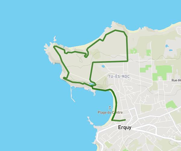
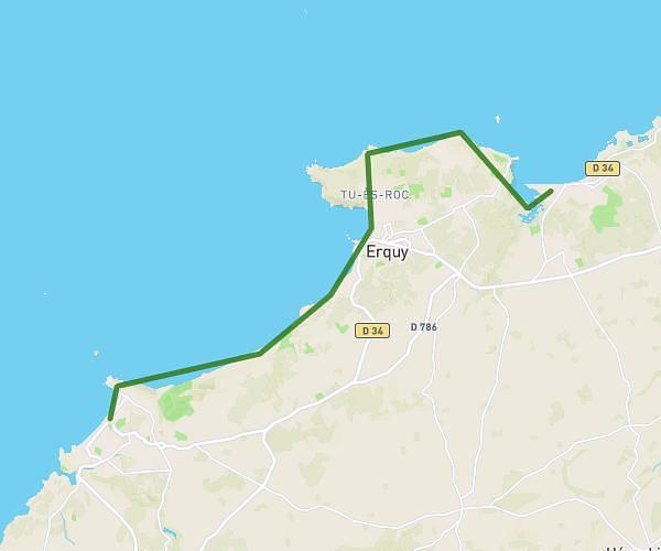
This hiking trail covers 5.257mi starting from Plérin, Côtes-d'Armor. The hike is a loop trail and returns to the trailhead. This hike is rated as easy, plan for about 1h51m to complete it. The route has an elevation gain of 315ft and an elevation loss of 315ft.
Petit tour à plérin
Route details
2.84mph
Speed
792 kcal
Calories burned
2.3%
Avg grade
Loop trail
Route type
148ft
Min altitude
367ft
Max altitude
Route profile
315ft
Elevation gain
315ft
Elevation loss
148ft
Min altitude
367ft
Max altitude
How to get there
Trailhead: 2 Rue De La France Libre, 22190 Plérin, France
GPS coordinates of the trailhead: 48.52949, -2.75998 / 48°31'46'' N, 2°45'35'' W