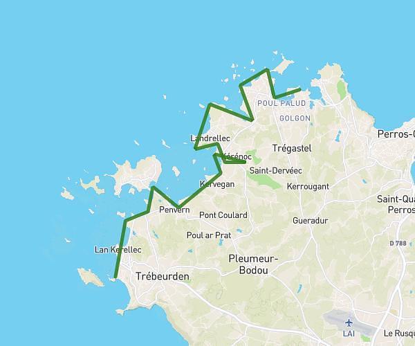
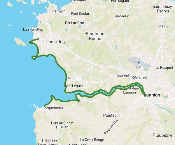
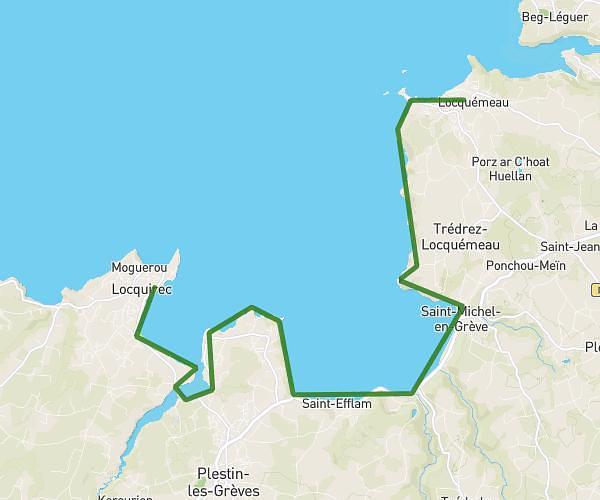
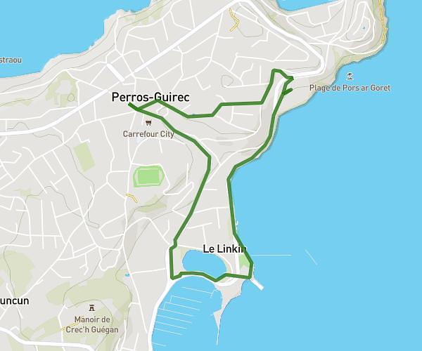
This hiking trail covers 3.134mi starting from Perros-Guirec, Côtes-d'Armor. The hike is a loop trail and returns to the trailhead. This hike is rated as moderate, plan for about 1h20m to complete it. The route has an elevation gain of 614ft and an elevation loss of 610ft.
Sunday dogs
Route details
2.35mph
Speed
595 kcal
Calories burned
7.4%
Avg grade
Loop trail
Route type
20ft
Min altitude
190ft
Max altitude
Route profile
614ft
Elevation gain
610ft
Elevation loss
20ft
Min altitude
190ft
Max altitude
How to get there
Trailhead: 12 Rue Du Général De Gaulle, 22700 Perros-Guirec, France
GPS coordinates of the trailhead: 48.81481, -3.44515 / 48°48'53'' N, 3°26'42'' W