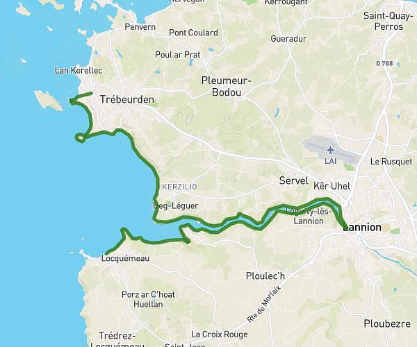
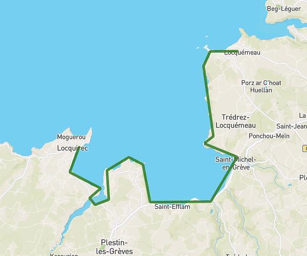
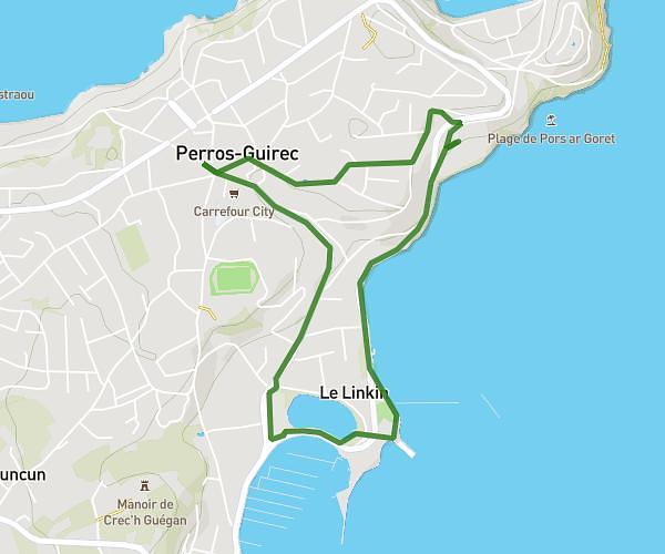
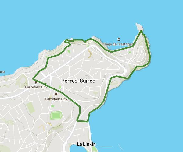
This hiking trail covers 16.404mi starting from Trébeurden, Côtes-d'Armor. The hike does not return to the trailhead and ends near 26 Chemin De Quo Vadis, 22730 Trégastel, France. This hike is rated as moderate, plan for about 1h4m to complete it. The route has an elevation gain of 505ft and an elevation loss of 515ft.
Le Castel _ Tourony
Route details
15.38mph
Speed
452 kcal
Calories burned
1.2%
Avg grade
Point to point
Route type
-3ft
Min altitude
141ft
Max altitude
Route profile
505ft
Elevation gain
515ft
Elevation loss
-3ft
Min altitude
141ft
Max altitude
How to get there
Trailhead: Rue Du Castel, Trébeurden, France
GPS coordinates of the trailhead: 48.769313, -3.585349 / 48°46'9'' N, 3°35'7'' W