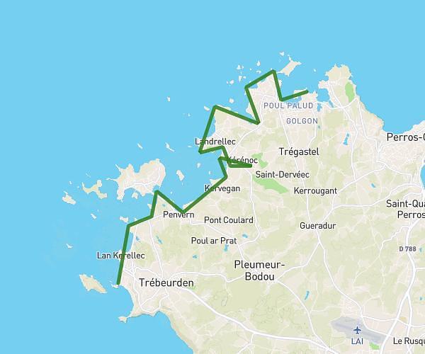
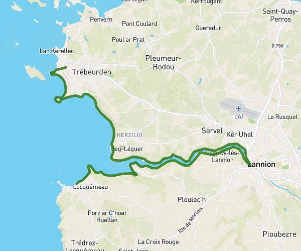
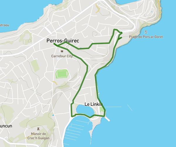
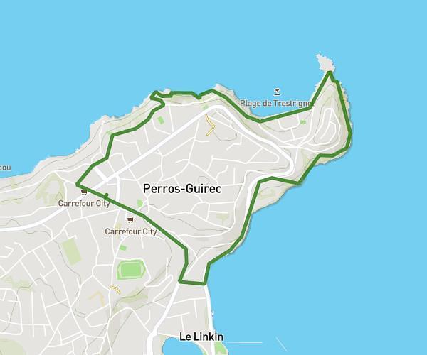
This hiking trail covers 16.246mi starting from Locquirec, Finistère. The hike does not return to the trailhead and ends near 16 Hent Roskoualc'h, 22300 Trédrez-Locquémeau, France. This hike is rated as hard, plan for about 5h46m to complete it. The route has an elevation gain of 1043ft and an elevation loss of 994ft.
Locquirec _ Locquemeau
Route details
2.81mph
Speed
2471 kcal
Calories burned
2.4%
Avg grade
Point to point
Route type
0ft
Min altitude
203ft
Max altitude
Route profile
1043ft
Elevation gain
994ft
Elevation loss
0ft
Min altitude
203ft
Max altitude
How to get there
Trailhead: 1 Rue De La Rampe, 29241 Locquirec, France
GPS coordinates of the trailhead: 48.689676, -3.65049 / 48°41'22'' N, 3°39'1'' W