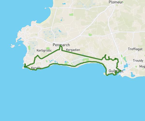
This hiking trail covers 7.687mi starting from Le Relecq-Kerhuon, Finistère. The hike is a loop trail and returns to the trailhead. This hike is rated as moderate, plan for about 2h45m to complete it. The route has an elevation gain of 554ft and an elevation loss of 558ft.
Randonnée Brest plage du moulin blanc
Route details
2.78mph
Speed
1185 kcal
Calories burned
2.7%
Avg grade
Loop trail
Route type
16ft
Min altitude
249ft
Max altitude
Route profile
554ft
Elevation gain
558ft
Elevation loss
16ft
Min altitude
249ft
Max altitude
How to get there
Trailhead: 5b Boulevard Léopold Maissin, 29480 Le Relecq-Kerhuon, France
GPS coordinates of the trailhead: 48.39622, -4.41986 / 48°23'46'' N, 4°25'11'' W