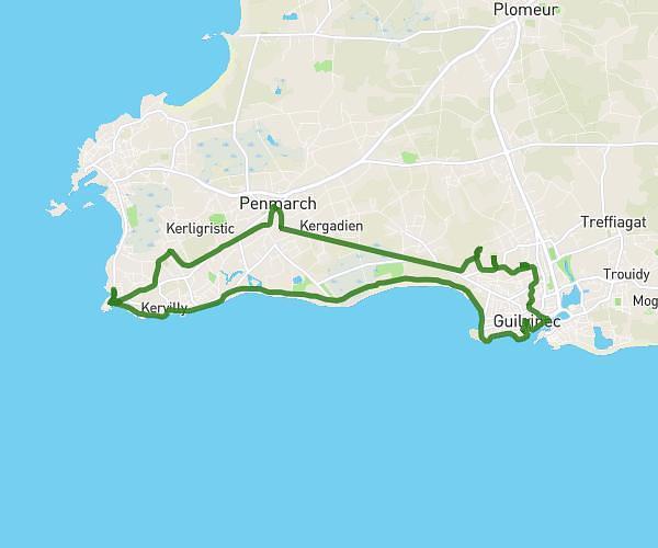
This hiking trail covers 15.666mi starting from Landéda, Finistère. The hike is a loop trail and returns to the trailhead. This hike is rated as hard, plan for about 8h4m to complete it. The route has an elevation gain of 1047ft and an elevation loss of 1043ft.
Aber Wrac'h
Route details
1.94mph
Speed
3463 kcal
Calories burned
2.5%
Avg grade
Loop trail
Route type
0ft
Min altitude
151ft
Max altitude
Route profile
1047ft
Elevation gain
1043ft
Elevation loss
0ft
Min altitude
151ft
Max altitude
How to get there
Trailhead: 141 Ar Palud, 29870 Landéda, France
GPS coordinates of the trailhead: 48.59638, -4.5599 / 48°35'46'' N, 4°33'35'' W