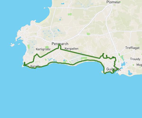
This hiking trail covers 7.703mi starting from Plouzané, Finistère. The hike is a loop trail and returns to the trailhead. This hike is rated as moderate, plan for about 3h16m to complete it. The route has an elevation gain of 1050ft and an elevation loss of 942ft.
Randonnée phare du petit minou
Route details
2.36mph
Speed
1431 kcal
Calories burned
4.9%
Avg grade
Loop trail
Route type
-10ft
Min altitude
246ft
Max altitude
Route profile
1050ft
Elevation gain
942ft
Elevation loss
-10ft
Min altitude
246ft
Max altitude
How to get there
Trailhead: 23 Route De La Corniche, 29280 Plouzané, France
GPS coordinates of the trailhead: 48.33821, -4.6152 / 48°20'17'' N, 4°36'54'' W