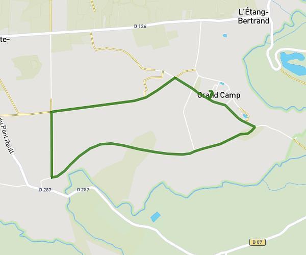
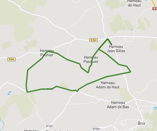
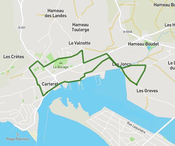
This running route covers 11.068mi starting from Le Mesnil, Manche. The run is a loop trail and returns to the trailhead. This run is rated as hard, expect about 2h5m to complete it. The route has an elevation gain of 991ft and an elevation loss of 991ft.
trail 1
Route details
5.28mph
Speed
1440 kcal
Calories burned
Loop trail
Route type
102ft
Min altitude
413ft
Max altitude
Route profile
991ft
Elevation gain
991ft
Elevation loss
102ft
Min altitude
413ft
Max altitude
How to get there
Trailhead: 8 Hameau Gallier, 50580 Le Mesnil, France
GPS coordinates of the trailhead: 49.369726, -1.694122 / 49°22'11'' N, 1°41'38'' W