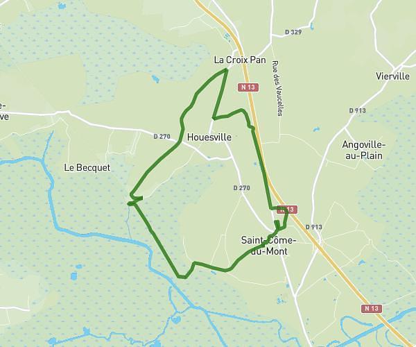
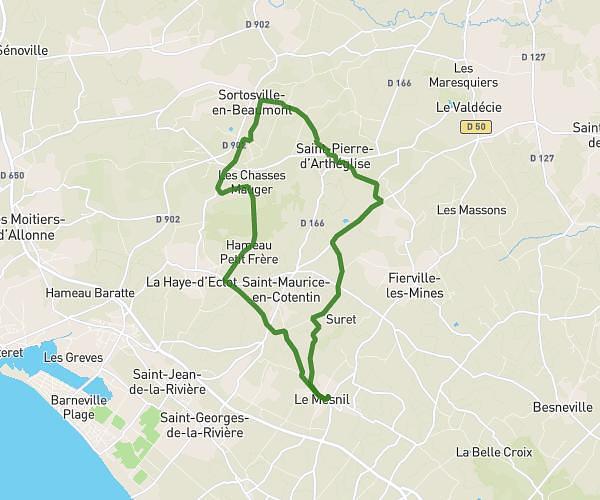
This running route covers 2.63mi starting from L'Étang-Bertrand, Manche. The run is a loop trail and returns to the trailhead. This run is rated as easy, expect about 28m to complete it. The route has an elevation gain of 217ft and an elevation loss of 220ft.
4km
Route details
5.64mph
Speed
320 kcal
Calories burned
Loop trail
Route type
49ft
Min altitude
167ft
Max altitude
Route profile
217ft
Elevation gain
220ft
Elevation loss
49ft
Min altitude
167ft
Max altitude
How to get there
Trailhead: 8 Rue De La Goupilloterie, 50260 L'Étang-Bertrand, France
GPS coordinates of the trailhead: 49.459811, -1.566598 / 49°27'35'' N, 1°33'59'' W