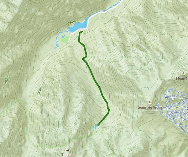
This hiking trail covers 2.26mi starting from Bilhères, Pyrénées-Atlantiques. The hike is a loop trail and returns to the trailhead. This hike is rated as easy, plan for about 54m33s to complete it. The route has an elevation gain of 282ft and an elevation loss of 285ft.
BENOU - 3.6
Route details
2.49mph
Speed
397 kcal
Calories burned
4.8%
Avg grade
Loop trail
Route type
2854ft
Min altitude
2966ft
Max altitude
Route profile
282ft
Elevation gain
285ft
Elevation loss
2854ft
Min altitude
2966ft
Max altitude
How to get there
Trailhead: D 294, 64260 Bilhères, France
GPS coordinates of the trailhead: 43.06538, -0.46756 / 43°3'55'' N, 0°28'3'' W