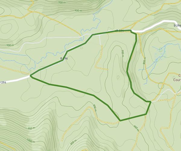
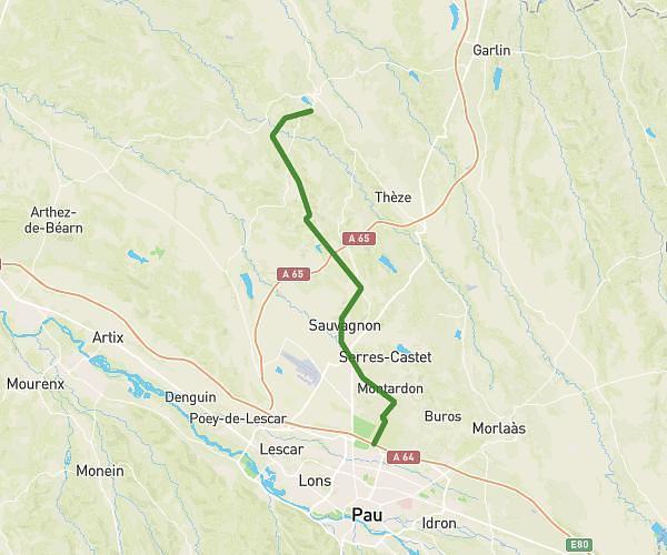
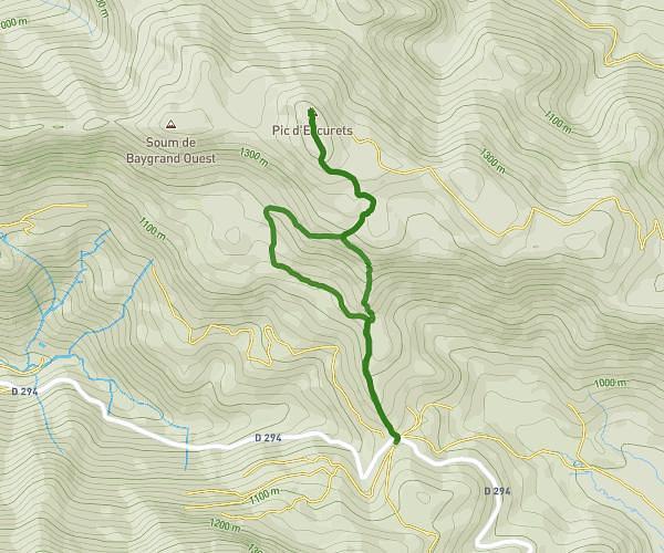
This hiking trail covers 18.494mi starting from Pau, Pyrénées-Atlantiques. The hike does not return to the trailhead and ends near 101 Chemin Henri Iv, 65380 Barlest, France. This hike is rated as strenuous, plan for about 5h43m to complete it. The route has an elevation gain of 2165ft and an elevation loss of 1198ft.
Pau Lourdes 1 - 30km
Route details
3.24mph
Speed
2490 kcal
Calories burned
3.4%
Avg grade
Point to point
Route type
604ft
Min altitude
1696ft
Max altitude
Route profile
2165ft
Elevation gain
1198ft
Elevation loss
604ft
Min altitude
1696ft
Max altitude
How to get there
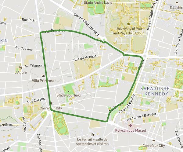
Trailhead: 84 Avenue Trespoey, 64000 Pau, France
GPS coordinates of the trailhead: 43.299, -0.35329 / 43°17'56'' N, 0°21'11'' W