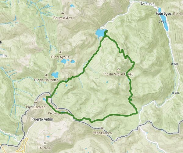
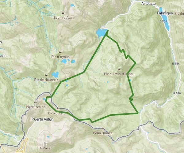
This hiking trail covers 3.656mi starting from Bilhères, Pyrénées-Atlantiques. The hike is a loop trail and returns to the trailhead. This hike is rated as hard, plan for about 2h15m to complete it. The route has an elevation gain of 1381ft and an elevation loss of 1394ft.
Escuret boucle
Route details
1.62mph
Speed
1058 kcal
Calories burned
14.4%
Avg grade
Loop trail
Route type
3304ft
Min altitude
4616ft
Max altitude
Steep climb
Route profile
1381ft
Elevation gain
1394ft
Elevation loss
3304ft
Min altitude
4616ft
Max altitude
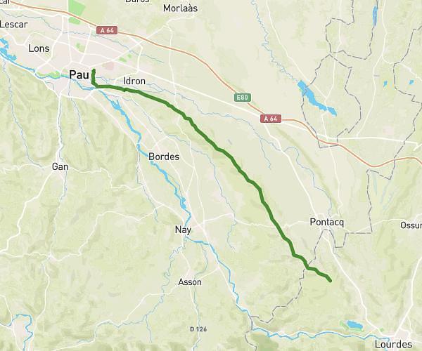
How to get there
Trailhead: D 294, 64260 Bilhères
GPS coordinates of the trailhead: 43.07047, -0.50757 / 43°4'13'' N, 0°30'27'' W