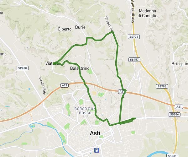
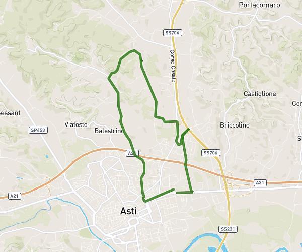
This running route covers 11.993mi starting from Castellinaldo d'Alba, Cuneo. The run is a loop trail and returns to the trailhead. This run is rated as strenuous, expect about 1h56m to complete it. The route has an elevation gain of 974ft and an elevation loss of 971ft.
quasi 20km
Route details
6.2mph
Speed
1326 kcal
Calories burned
Loop trail
Route type
535ft
Min altitude
1014ft
Max altitude
Route profile
974ft
Elevation gain
971ft
Elevation loss
535ft
Min altitude
1014ft
Max altitude
How to get there
Trailhead: Vicolo Fiume, 12050 Castellinaldo d'Alba
GPS coordinates of the trailhead: 44.77439, 8.02695 / 44°46'27'' N, 8°1'37'' E