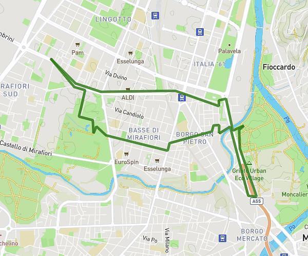
This running route covers 5.711mi starting from Fiano, Turin. The run is a loop trail and returns to the trailhead. This run is rated as moderate, expect about 51m to complete it. The route has an elevation gain of 600ft and an elevation loss of 600ft.
Varisella 9km
Route details
6.72mph
Speed
583 kcal
Calories burned
Loop trail
Route type
1273ft
Min altitude
1716ft
Max altitude
Route profile
600ft
Elevation gain
600ft
Elevation loss
1273ft
Min altitude
1716ft
Max altitude
How to get there
Trailhead: Via Baratonia 42, 10070 Fiano Turin, Italy
GPS coordinates of the trailhead: 45.21624, 7.51666 / 45°12'58'' N, 7°30'59'' E