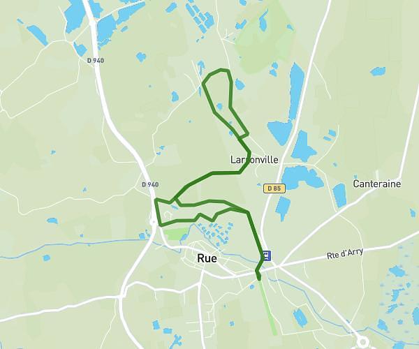
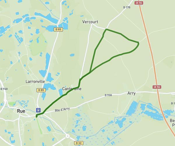
This running route covers 14.31mi starting from Sorrus, Pas-de-Calais. The run is a loop trail and returns to the trailhead. This run is rated as strenuous, expect about 2h30m to complete it. The route has an elevation gain of 95ft and an elevation loss of 56ft.
Sorrus 23 km
Route details
5.72mph
Speed
1715 kcal
Calories burned
Loop trail
Route type
98ft
Min altitude
184ft
Max altitude
Route profile
95ft
Elevation gain
56ft
Elevation loss
98ft
Min altitude
184ft
Max altitude
How to get there
Trailhead: Rue Du Patis De L'église, 62170 Sorrus
GPS coordinates of the trailhead: 50.46102, 1.71739 / 50°27'39'' N, 1°43'2'' E