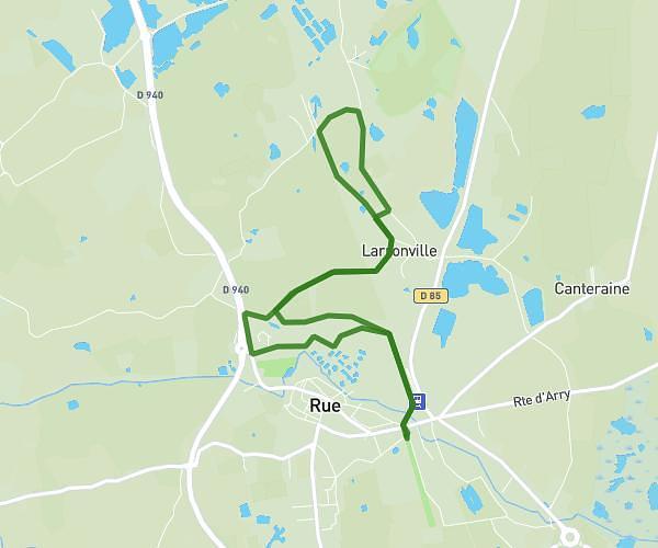
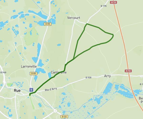
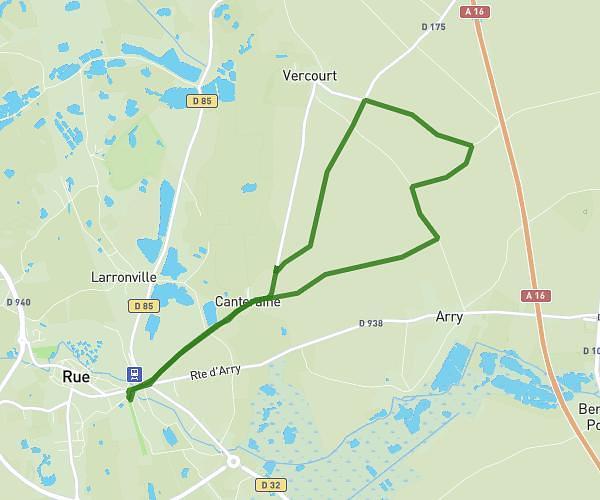
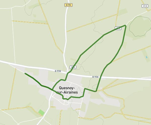
This running route covers 2.395mi starting from Rue, Somme. The run is a loop trail and returns to the trailhead. This run is rated as easy, expect about 26m to complete it. The route has an elevation gain of 69ft and an elevation loss of 69ft.
Ruenne 2026 balade famille courte 2
Route details
5.53mph
Speed
297 kcal
Calories burned
Loop trail
Route type
10ft
Min altitude
26ft
Max altitude
Route profile
69ft
Elevation gain
69ft
Elevation loss
10ft
Min altitude
26ft
Max altitude
How to get there
Trailhead: 6 Place Du Général De Gaulle, 80120 Rue, France
GPS coordinates of the trailhead: 50.271082, 1.674826 / 50°16'15'' N, 1°40'29'' E